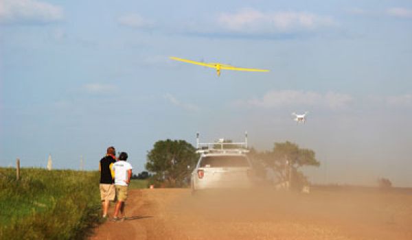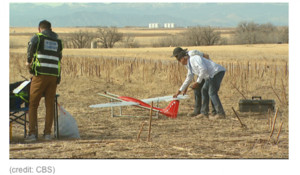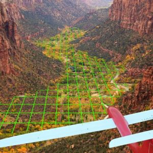

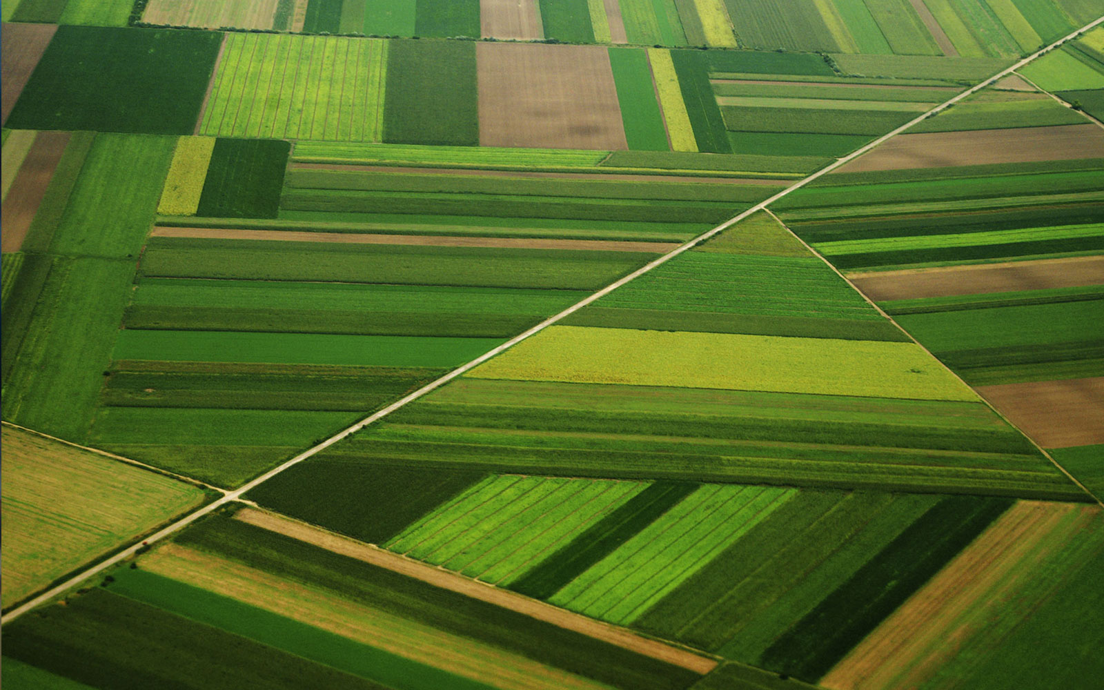

Agriculture is one of the fastest growing applications for UAVs. UAV surveys provide farmers and ranchers with timely, detailed information about their operations. Information on crop health, soil moisture, livestock monitoring, stock tank levels, and fence lines can be gathered faster and at lower cost than by ground or manned aircraft surveys. Information products generated by our aircraft systems can result in significant savings and increased profits.
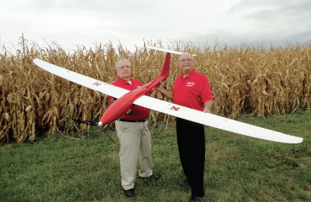
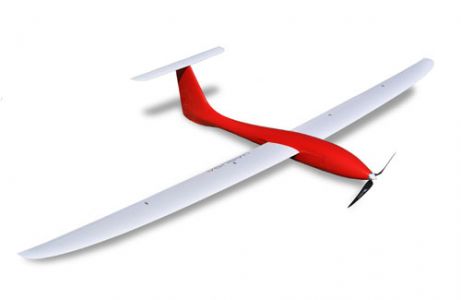
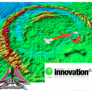
Various cameras, thermal infrared, multispectral, hyperspectral and LiDAR sensors can be flown on the Tempest to provide information products that can be integrated into an overall precision agriculture solution. The Tempest has superior capabilities. It can fly in winds up to 50 mph and cover over 2000 acres in a single 1.5 hour flight. Information products generated from Tempest flights can be delivered via the internet, allowing farmers and agricultural service providers to resolve issues in a timely manner. Some of the information products UASUSA can offer are listed below:
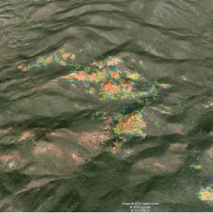
NDVI
(normalized difference vegetation index)-The NDVI is an index that is widely used for measuring the density or vigor of vegetation.
Plant height
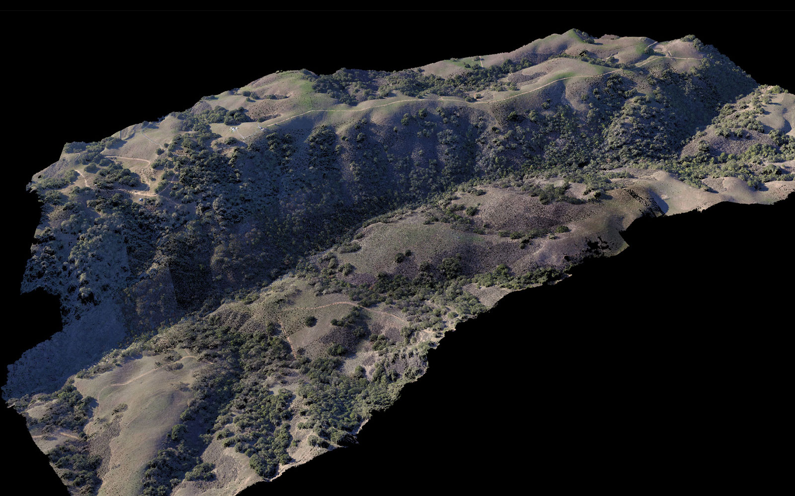
Plant height is derived from a Digital Surface Model produced from a point cloud generated from multiple overlapping orthophotos. This allows estimation of crop yield.
Weed map
Locating weeds early can be vital to controlling their spread and doing so in a cost-effective manner.
Crop counting
High-resolution imagery is required to run our routines that can give information on early plant density and indications of potential yield.
LAI
Leaf Area Index provides a measure of the density of crop cover.Topography and drainage evaluation- Analysis of orthophotos or LiDAR can generate Digital Elevation Models.
Chlorophyll map
Shows chlorophyll level variations across fields.
Nitrogen
Hyperspectral data can provide information on levels of nitrogen which can give farmers vital information about needs of fertilization.